


We work to empower our partners in activating the spatial dimensions of business intelligence and decision-making.
Sector We Serve …

Traffic & Transportation
- Road Network
- Train network
- Metro
- Public Transportation
- Airport & Ports
- Logistic Services
- Traffic
- Postal Services
- Delivery Services

Government and Commercial
- Seances
- Educations
- Healthcare
- Religious
- Financial & Insurance
- Retails
- Tourism & Culture

Municipal and local Authority
- Urban Planning
- Land Use
- Shops and building licensee.
- Inspection
- Geospatial Project management
- Local Administrator
- Spatial Index
- Addressing
- Geographic names

Land & Real estate management
- Land registration services.
- Propriety management services
- Real estate index and
- Housing.

Utilizes & Infra structure
- Electricity.
- Water
- Commination's
- GAS and Oil
- Rain water drainage
- Terrestrial networks

Security and emergency
- Emergency services
- Crises and disasters.
- Security.
- Emergency services.


AI of Location Services & Smart Business

Spatial Analysis
& Geo Index
GIS Policy, standardizations

Data Development
Geospatial Data And Maps production

Data And Geospatial infrastructure
Spatial Salutation Development

Geospatial Consultant
Geospatial Data and Map Production
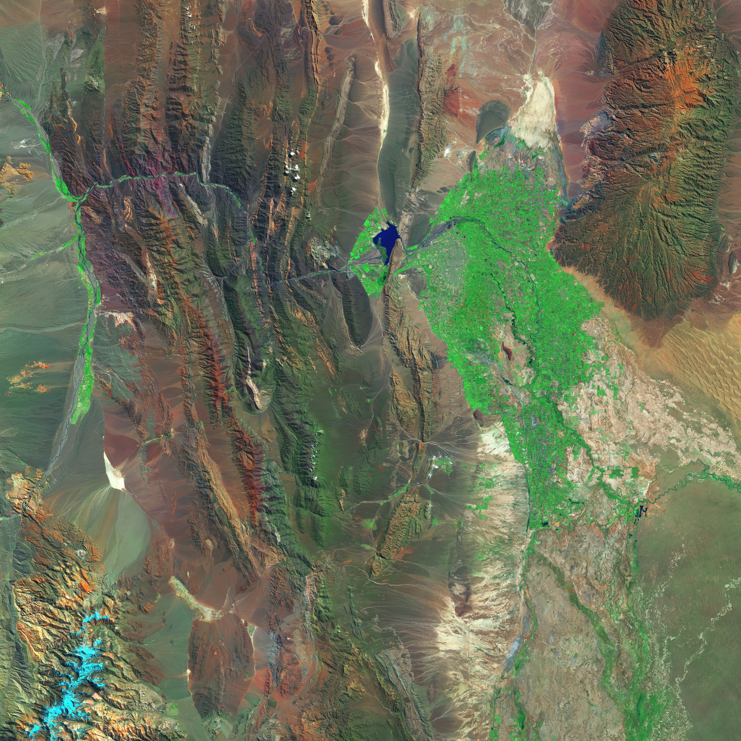
Image processing and change detection:
Our services encompass the processing of satellite, aerial, or Mobile Mapping, utilizing ground control networks based on National geodetic references. Additionally, we conduct change detection tasks using artificial intelligence algorithms specifically designed for image analysis. We excel in extracting and analyzing elements that precisely fulfill the requirements of our clients.
Map Production:
Performing automated digitizing tools, using artificial intelligence techniques to construct highly accurate and top-quality digital maps across various cartographic scales. This involves processing images, converting paper chart files, or transforming engineering charts and attribute data into digital map formats. Our processes adhere to approved geospatial databases, ensuring the utmost precision and adherence to industry standards.

Data Development
The development of geospatial databases and big data solutions, focusing on structuring spatial data for digital map layers of vital locations. This involves developing the conceptual model, logical model, and physical model for structuring geospatial databases. Additionally, we prepare comprehensive metadata information lists to describe the spatial data layers associated with critical sites, as well as develop a data dictionary to provide a clear understanding of the data attributes and their definitions.

Quality and standardization of geospatial
Adopting global spatial specifications and standards for renowned international organizations in this field, such as ISO TC211 and OGC These specifications serve as the foundation for creating general specifications for base maps, defining coordinate systems, updating cartographic specifications, establishing methods and approaches for converting digital maps, and creating procedural guides.
Our work is rooted in scientific principles, encompassing factors such as completeness accuracy, logical consistency accuracy, positional accuracy, temporal accuracy, and thematic accuracy to ensure adherence to rigorous quality standards.

Spatial Solution Development & AI
Developing enterprise, geospatial and business intelligence solutions:
Spatial Dimensions continually strive to stay at the forefront of rapid advancements by leveraging the latest technologies and harnessing the power of business intelligence (AI). Our focus lies in developing institutional geospatial digital platforms tailored to the specific requirements and needs of our clients. To ensure the successful attainment of our clients' goals and aspirations, we adopt an Agile flexible work methodology, conducting development processes in stages to effectively reach the desired targets.
Our comprehensive solutions encompass the creation of website platforms, web browsers, and smartphone applications. Additionally, we specialize in developing (APIs) that enhance the overall functionality and maximize the benefits of the platforms we build on a large scale. Through our innovative approach, we enable our clients to leverage cutting-edge technology and achieve optimal outcomes.

Developing spatial analysis and location intelligence tools:
The team of experts at Spatial Dimensions delivers exceptional services by digitizing map processing and analysis tools utilized by our clients for map construction, processing, and analysis. This digitization enhances the quality of their outputs and significantly expedites operational processes while reducing costs by minimizing human involvement in the workflow. Our expertise in site intelligence enables our clients to make informed decisions in various areas, including targeted marketing sites, risk management, resource routing, and network optimization for traffic. By leveraging these capabilities, our clients gain the advantage of smarter decision-making and improved efficiency across their operations.

Geospatial strategies and data:
We offer comprehensive services in preparing geospatial strategies and data strategies for our clients. Our objective is to provide extensive support in defining our clients' initiatives and goals, aligning them with their institutional plans and collaborating with their various partners. These strategies encompass a roadmap outlining the tasks, projects, and operations required to achieve the desired objectives.
Furthermore, we provide strategic services by developing business governance models and presenting multiple options for geospatial operational models that clients can implement within their systems. Our team conducts benchmark studies to analyze international practices and experiences, ensuring that our clients benefit from the latest insights and best practices in the field.
Through these services, we assist our clients in formulating clear strategies, optimizing their geospatial capabilities, and positioning themselves for success in their respective domains.

Geospatial and data project management services:
At Spatial Dimensions, we leverage the expertise of our skilled team to offer geospatial project management services and data project solutions to our esteemed clients. Our team collaborates closely with clients to develop comprehensive project plans, ensuring effective management and supervision throughout all stages of the project lifecycle.
From resource organization and time management to diligent project tracking, our team remains committed to overseeing the project's progress until its successful completion. We prioritize delivering high-quality results and provide a guarantee to ensure client satisfaction.
With our geospatial project management services, clients can rest assured that their projects are in capable hands, benefiting from our team's expertise and dedication to achieving the desired outcomes.

Business development for the geospatial system and data:
We are dedicated to exploring new opportunities for our clients to maximize the potential of geospatial business and data fields. This involves leveraging existing platforms and geospatial data while conducting thorough studies to identify the needs and requirements of our clients' service beneficiaries. Through our research and innovation, we strive to create new services and products in innovative ways that provide added value to the beneficiaries and foster accelerated growth.
Our aim is to achieve a high level of maturity in geospatial services and products by constantly pushing the boundaries of what is possible. We seek to enhance the capabilities available to our clients, enabling them to leverage geospatial technologies effectively and unlock new opportunities for their businesses. By embracing creativity and a forward-thinking approach, we endeavor to deliver solutions that drive success and elevate the field of geospatial services to new heights.

Marketing and communication of your geospatial and data business:
Spatial Dimensions is committed to providing comprehensive integrated geospatial services to our clients. We go beyond the technical aspects and extend our support to various facets, including developing media and marketing plans for these services and products. Our expertise encompasses designing brand identities, creating marketing content, and executing publishing strategies to effectively promote our clients' geospatial offerings.
Furthermore, we assist in preparing participation in events, conducting user analysis, and analyzing competitors. By leveraging these insights, we help our clients refine their marketing strategies and make informed decisions to stay ahead in the market.
Our holistic approach ensures that our clients receive end-to-end support, from the development of geospatial solutions to effectively marketing and positioning them in the industry. We strive to enhance their visibility, attract target audiences, and maximize the impact of their geospatial services and products.

Technical Infrastructure:
At Spatial Dimensions, we specialize in designing comprehensive architecture for platforms and geospatial data. This involves identifying the specific requirements, preparing the necessary hardware, software, and databases, and ensuring the smooth operation of the system. We conduct thorough experiments related to network and information security to ensure a robust and secure infrastructure. Furthermore, we offer cloud computing solutions in collaboration with our partners, providing integrated technical infrastructure services. These services encompass storage space, server devices, networking, communication, and processing capabilities. By leveraging these solutions, our clients can optimize resource utilization and effectively expand the usage of their platforms. This enables them to harness the full potential of their resources while maintaining scalability and efficiency.

Operational Support Services:
At Spatial Dimensions, we actively collaborate with our clients by offering round-the-clock technical support services. This includes performing regular maintenance operations, such as hardware and software updates, in accordance with the agreed-upon service level agreement procedures. We understand the importance of ensuring the seamless functioning of our clients' systems and prioritize their operational continuity. Additionally, we provide a comprehensive package of geospatial operational services. These services encompass the provision of human resources, resources equipped with hardware and software, as well as the setup of workplace infrastructure at our clients' premises. These dedicated resources work diligently to optimize the operation of our clients' services, ensuring optimal performance and efficiency.


Headquarters
Olaya
Riyadh, 12213
Tel. (966) 541616382
Email: info@spatial.com.sa
Office Hours
Sunday to thursday
9 to 5
Social Media
